Oamaru - 'The Place of Maru'
Oamaru is the largest town in North Otago, in the South Island of New Zealand, it is the main town in the
Waitaki District. It is 80 kilometres (50 mi) south of Timaru and 120 kilometres (75 mi) north of Dunedin on
the Pacific coast; State Highway 1 and the railway Main South Line connect it to both cities.
With a
population of 13,700,[2] Oamaru is the 28th largest urban area in New Zealand, and the third largest in
Otago behind Dunedin and Queenstown. The name Oamaru derives from the Māori and can be translated as "the
place of Maru". The identity of Maru remains open to conjecture.
(Quelle: Wikipedia)
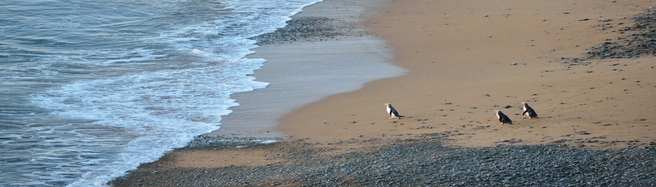
Oamaru Beach
Māori tradition tells of the ancient people Kahui Tipua building a canoe, Arai Te Uru, which sailed from southern New Zealand to the ancestral Polynesian homeland, Hawaiki, to obtain kumara. On its return it became waterlogged off the Waitaki River mouth, lost food baskets at Moeraki beach and ended up wrecked at Matakaea (Shag Point) where it turned into Danger Reef. After the wreck a crew member, Pahihiwitahi, seeking water, discovered the Waitaki River, but on returning south and failing to reach the wreck before dawn he was turned into a hill in the Shag Valley. Modern academics have suggested this tale is an allegorical explanation of the fact that kumara will not grow south of Banks Peninsula. (Quelle: Wikipedia)
Overview map
Links
Weitere Sehenswürdigkeiten vor Ort: